SETLD’s North American Land Compilation (NALC) is an annual data subscription designed to provide a comprehensive structured, reliable and affordable geospatial land grid dataset for Canada, USA and Mexico. We source this data from governments and NGOs and normalize it for use in any mapping application. This does not include mineral leasing data. Please see SETLD TOTEMM for a comprehensive set of digitized leasehold interest footprints for everything energy, mining and related.
Includes: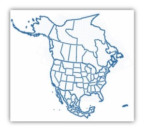
- Countries, maritime boundaries, states, counties, protractions
- County subdivisions, admin areas, land reserves, parks, municipalities
- PLSS and state sourced townships, surveys, abstracts, sections, subdivisions,
parcels, units, quarter sections - Quarterly updates w/ FTP feed + live web services / interactive web maps
- Integration, training and support
SETLD’s North America Land Compilation is a unique and accessible dataset that is invaluable to land and GIS staff as well as explorationists and decision-makers when:
- Exploring new areas
- Gaining merger and acquisition insights
- Building an oil and gas portfolio
Important land grid data presented to you the right way. GET SETLD – make big decisions look easy!


